Bridging Earth-Science Research & On-Ground Engineering
Transforming environmental data into insights, insights into strategies, and strategies into sustainable action.
A young Indian consultancy built on rigorous earth science
CLIMASTRA – Climate Strategy and Analytics is a new Indian environmental consultancy bringing innovative, science-based solutions to today's changing environmental and climate concerns. We integrate hydrodynamic and hydraulic modeling, climate change assessment, pollution research, remote sensing and GIS, and environmental analysis to support sustainable development and informed decision-making.
Environmental hazards rarely act in isolation. Cloudbursts trigger flash floods and slope failures; glacial lake expansion threatens downstream hydropower assets; rapid urban growth strains drainage and airsheds. Addressing floods, water-resource constraints, pollution, changing climate, ecosystem stress and urban growth requires integrated approaches that combine scientific understanding with advanced analytical techniques.
Founded by earth-science and geospatial specialists, CLIMASTRA replaces generic advisory with validated physical equations, multi-sensor satellite observations, and defensible engineering deliverables. We are set up to be agile, collaborative and innovation-oriented — technically sound, but practical, clear and tailored to each project.
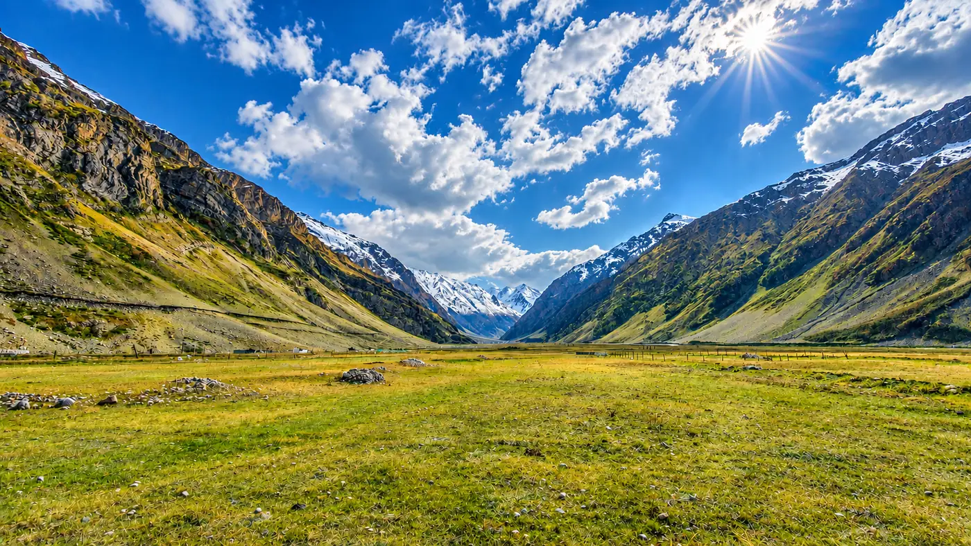
Science-led, decision-ready, delivery-focused
We start by understanding the problem, select the appropriate scientific and analytical methods, and translate complex environmental information into clear, actionable outcomes.
Who We Partner With
Public Agencies
SDMAs, Water Resources Departments & Municipal Bodies
Infra & Energy EPCs
Hydropower IPPs, Highways, Tunnels & DPR Firms
Corporates & Finance
SEBI BRSR Disclosures, Industrial Parks & Lenders
R&D & Multilaterals
Academic Consortia & Climate Resilience Programmes
Empirical & Physical Rigor
Every model is anchored in calibrated hydro-meteorological datasets, full shallow-water momentum equations (SWE-ELM), and peer-reviewed geospatial methodologies — never opaque black-box estimates.
Decision-Ready Engineering Outputs
We convert raw numerical outputs into standardized GIS layers (GeoTIFF, GeoPackage/Shapefile), hydraulic design cross-sections, early-warning inundation thresholds, and audit-ready technical annexes.
Agile Sub-Consulting for DPRs & Bids
Structured to integrate rapidly into engineering consortia and EPC bid teams — delivering specialized 2D flood, GLOF, and landslide chapters on tight tender timelines.
The most trusted source of climate, water and environmental intelligence
We aim to help organizations foresee risks, understand environmental change, and make smarter decisions for a more resilient and sustainable future — working with government bodies, infrastructure and development organizations, industry, research institutes and academia.
CLIMASTRA — translating climate and environmental data into insight, strategy, and action.